
Peter May’s Hebrides: From Lewis to St Kilda
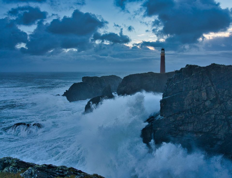
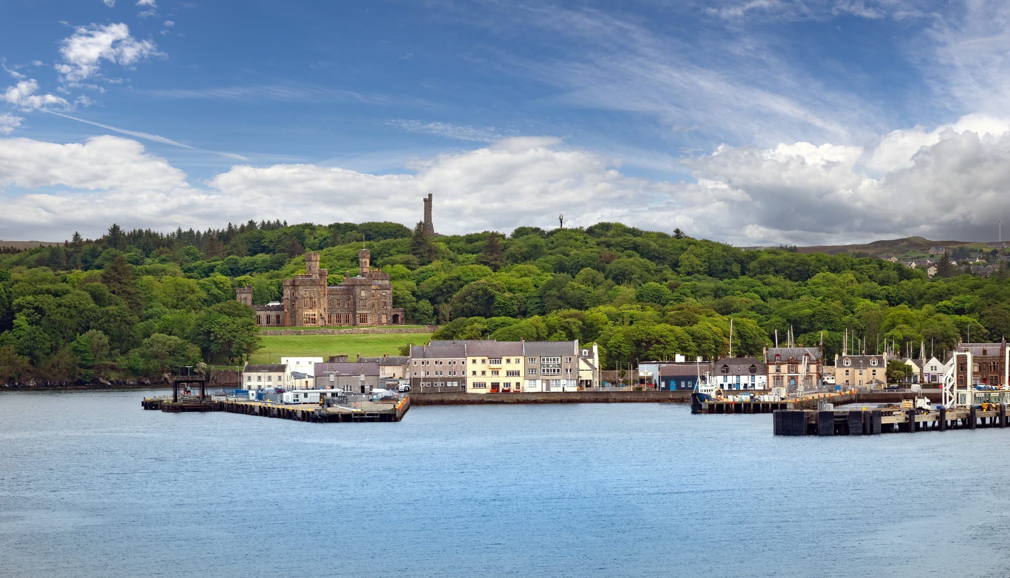
THE ferry from Ullapool to Stornoway is an apt way to enter Peter May’s Hebrides.
Lewis gathers slowly on the horizon across the Minch: low moorland, distant hills and a coastline exposed to weather arriving unhindered from the Atlantic.
For millions of readers, this became the landscape of Fin Macleod and the Lewis Trilogy.
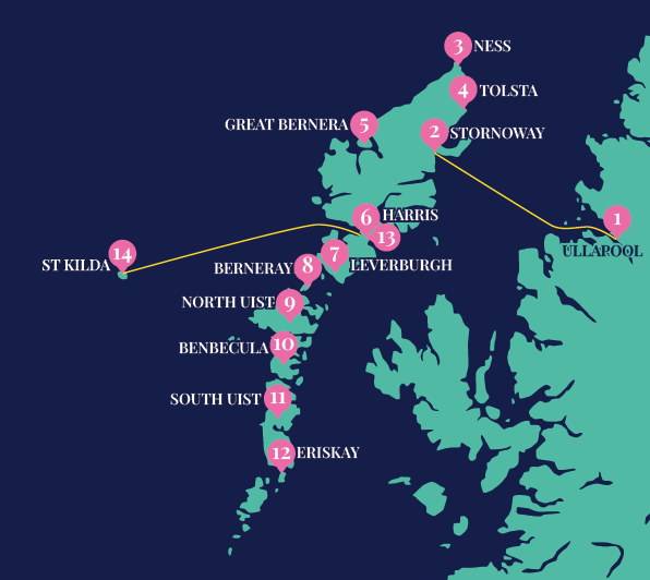
Through The Blackhouse, The Lewis Man, The Chessmen, Coffin Road and The Black Loch, Peter May helped carry the Outer Hebrides far beyond Scotland, turning its peat moors, blackhouses, beaches and fishing villages into some of the most recognisable landscapes in modern crime fiction.
And the best place to begin is at the top.
North to Ness
From Stornoway, the road heads north across the great peat moors towards Ness, where May’s fictional and real worlds begin to overlap.
The villages of Adabroc and Skigersta helped inspire Crobost, the community where Fin Macleod grew up.
At nearby Cross, the Free Church and manse provided models for their fictional counterparts, while Port of Ness supplied the setting around the murder that brings Fin back to Lewis at the beginning of The Blackhouse.
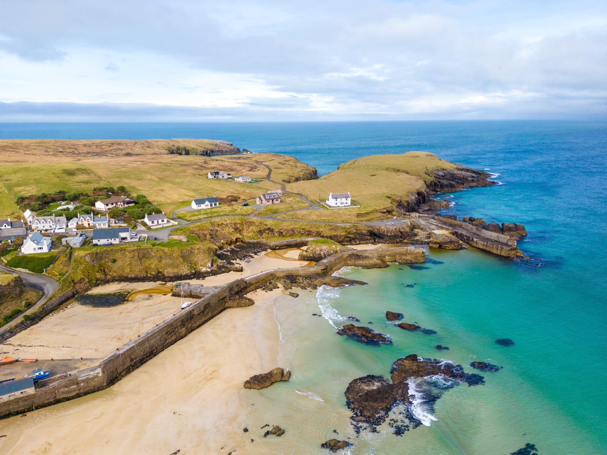
Skigersta harbour also features in The Blackhouse, with Fin’s father’s famously purple boat associated with the harbour.
This northern tip of Lewis is stark and exhilarating. Crofting townships stretch along the roadside, houses face into the weather and small harbours sit beneath dark cliffs.
At the Butt of Lewis, the road finally runs out. Beyond the lighthouse there is nothing but Atlantic.
The Bridge to Nowhere
Turning south again, it is worth diverting towards Tolsta.
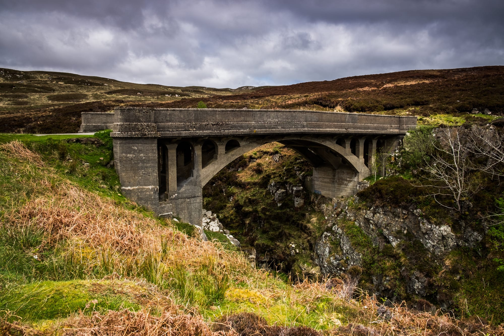
Here, a road built in the early 20th century ends abruptly at the wonderfully named Bridge to Nowhere, which appears in The Chessmen as the dramatic setting for the teenage scooter race.
Nearby Traigh Mhòr sweeps along the coast in a huge curve of sand.
It is typical of Lewis that somewhere connected to a dark crime novel can also be breathtakingly beautiful.
Stones, blackhouses and the west coast
Cross the island towards its Atlantic coast and the character of Lewis changes again.
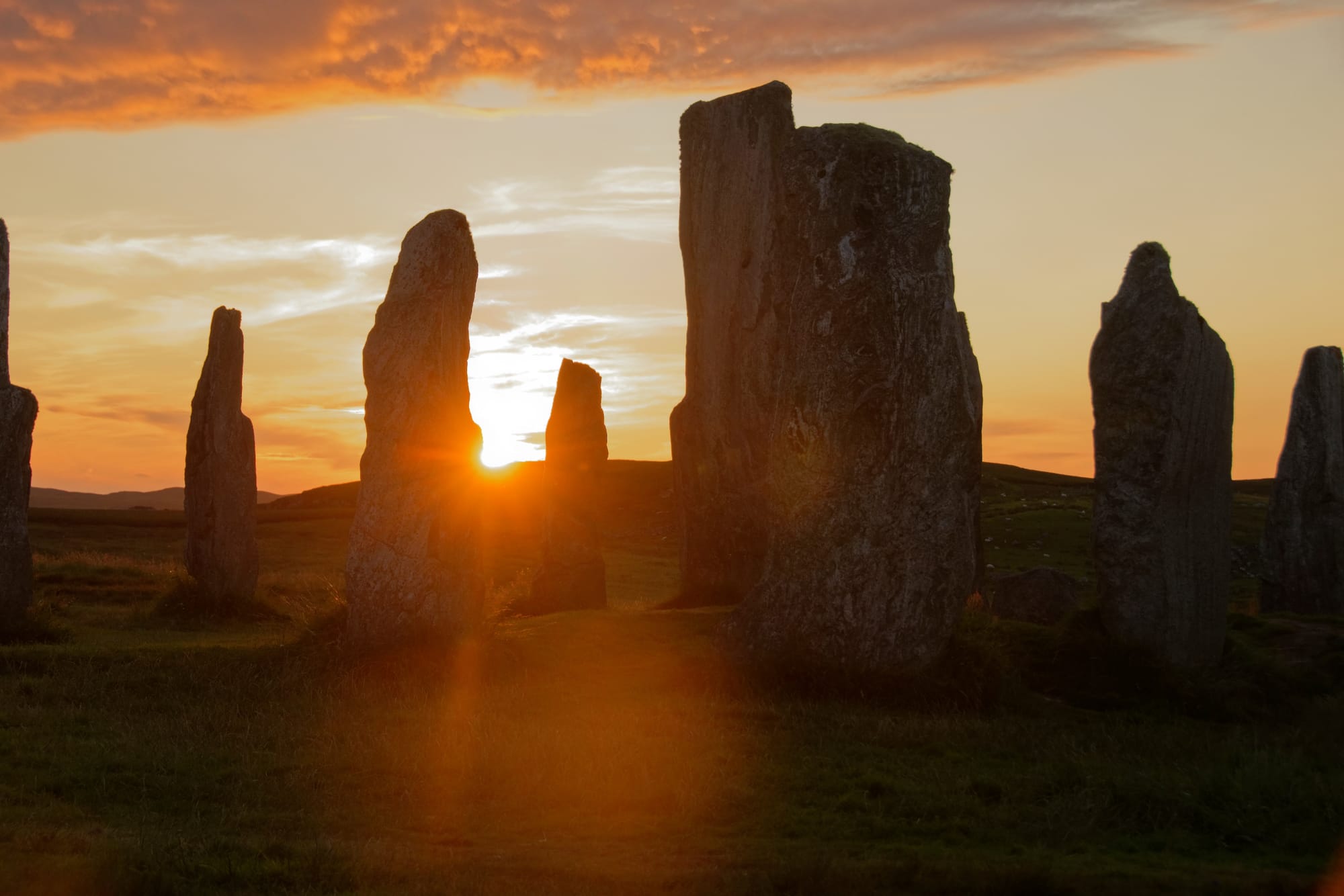
At Calanais, standing stones have occupied the landscape for around 5,000 years. Farther north, Gearrannan Blackhouse Village preserves the traditional stone-and-thatch homes that once characterised island life.
Then the road continues towards Uig, where mountains rise behind enormous beaches and the Atlantic horizon seems impossibly wide.
Around Ardroil, Peter May placed Whistler Macaskill’s home in The Chessmen.
Farther inland at Morsgail, a real disappearing loch helped inspire one of the novel’s central mysteries: the discovery of an aircraft exposed after the water mysteriously drains away.
Here, more than almost anywhere else, May’s fiction feels rooted in the physical peculiarities of the island itself.
The Bridge over the Atlantic
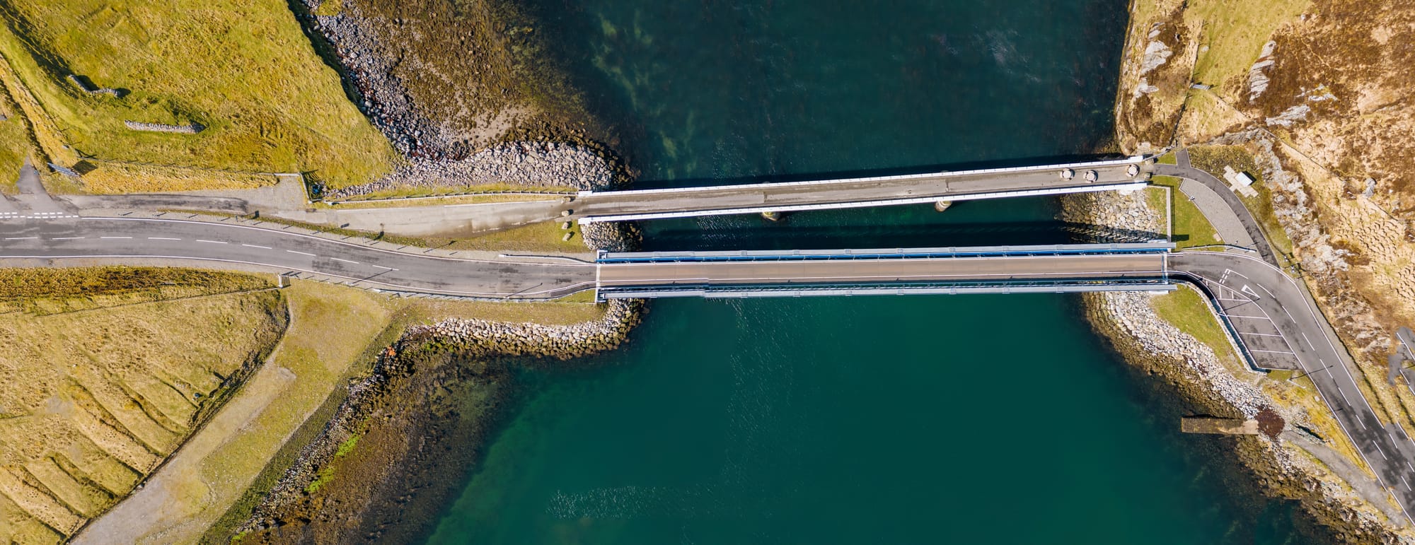
A small bridge carries the road from Lewis onto Great Bernera.
It is famously known as the Bridge over the Atlantic, although the crossing itself takes only moments.
Bernera became particularly important when Peter May returned to Fin Macleod in The Black Loch.
Tobson helped inspire the fictional community of An Loch Dubh, while the salmon cages of East Loch Roag play an important part in the novel’s climax.
The island is a mixture of rocky coastline, scattered crofts, sea lochs and hidden beaches.
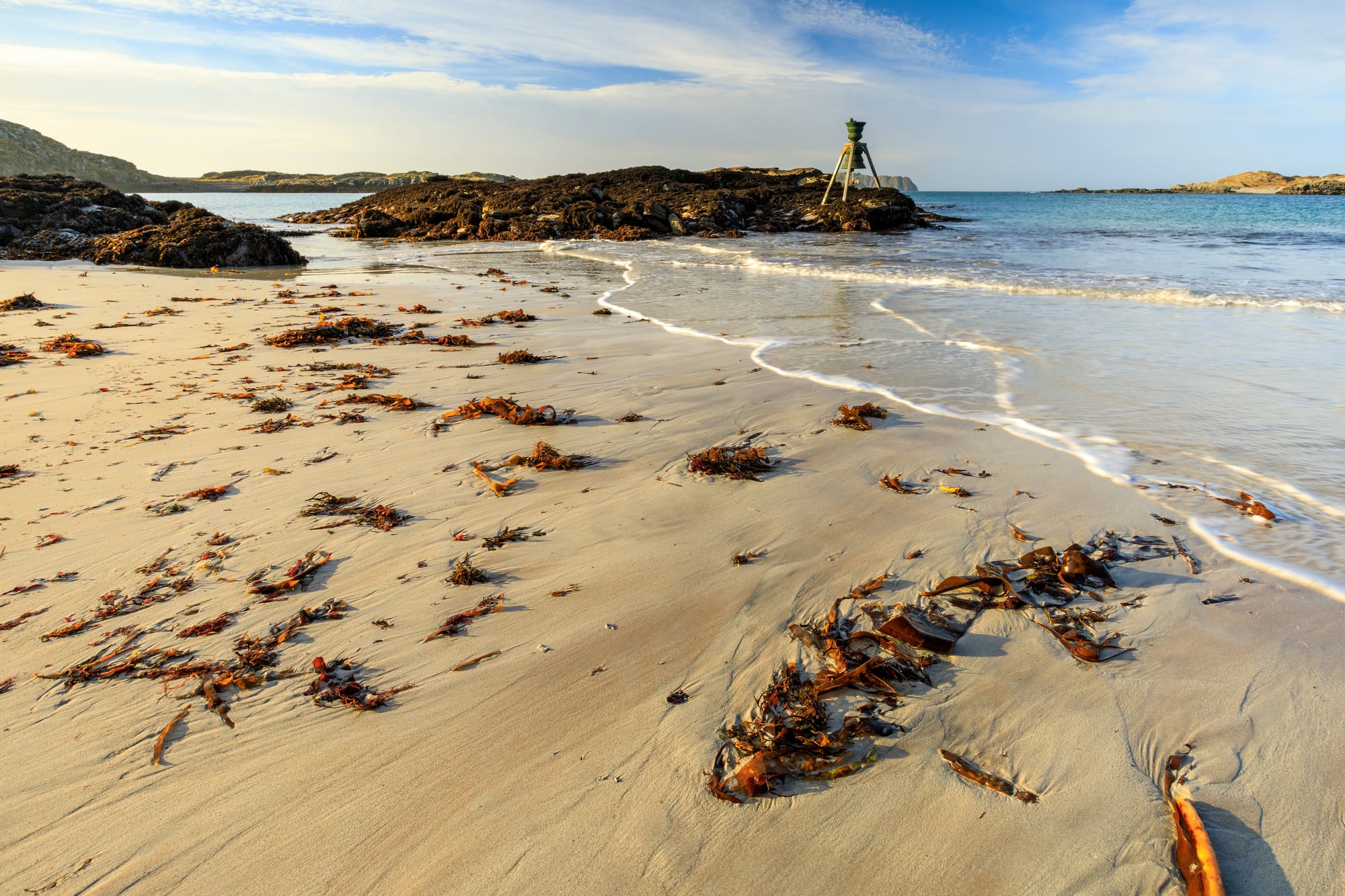
On a bright day, the water can appear almost Caribbean. On a bad one, it feels like the edge of the world.
Both moods seem entirely at home in a Peter May novel.
Into Harris
There is no ferry between Lewis and Harris. They are two parts of the same island, divided not by sea but by mountains.
The road climbs into the dramatic landscape of North Harris, squeezing between bare rock, lochs and steep-sided glens before descending towards Tarbert.
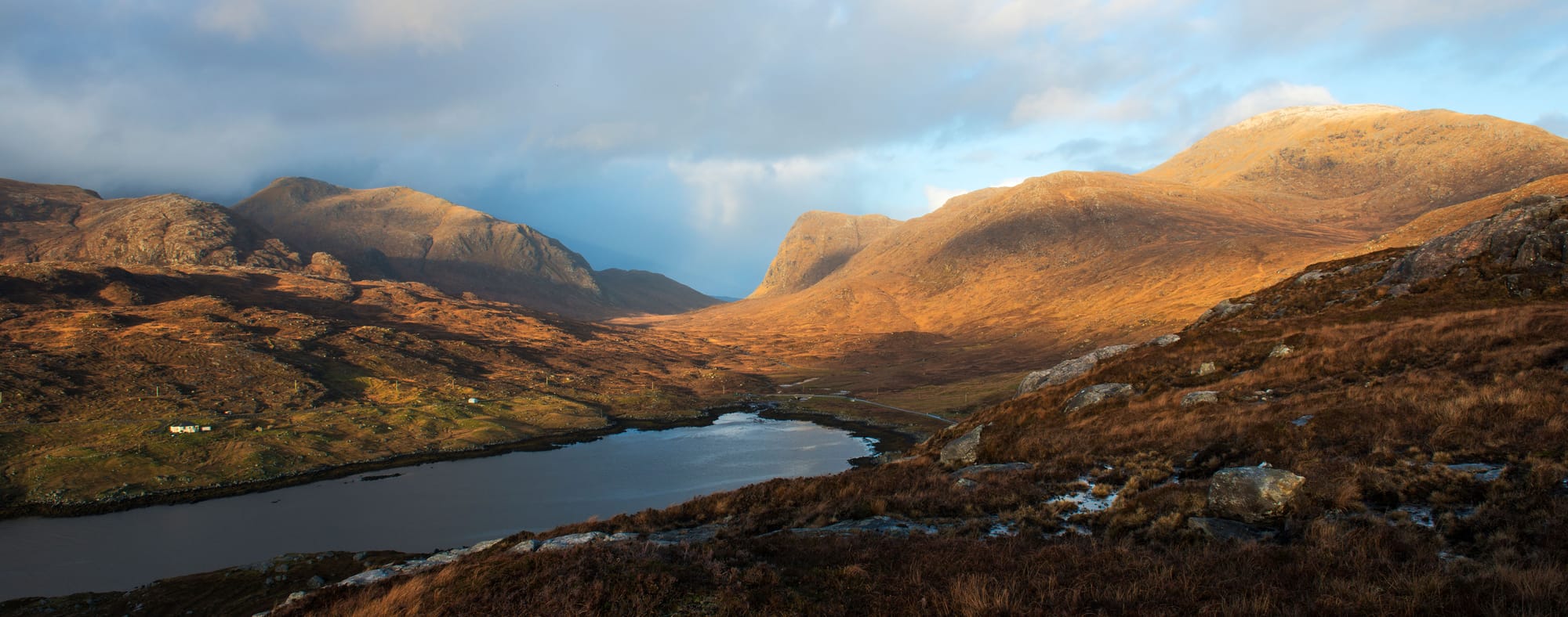
Beyond Tarbert, Harris divides into two strikingly different worlds.
To the west are broad beaches, dunes and machair.
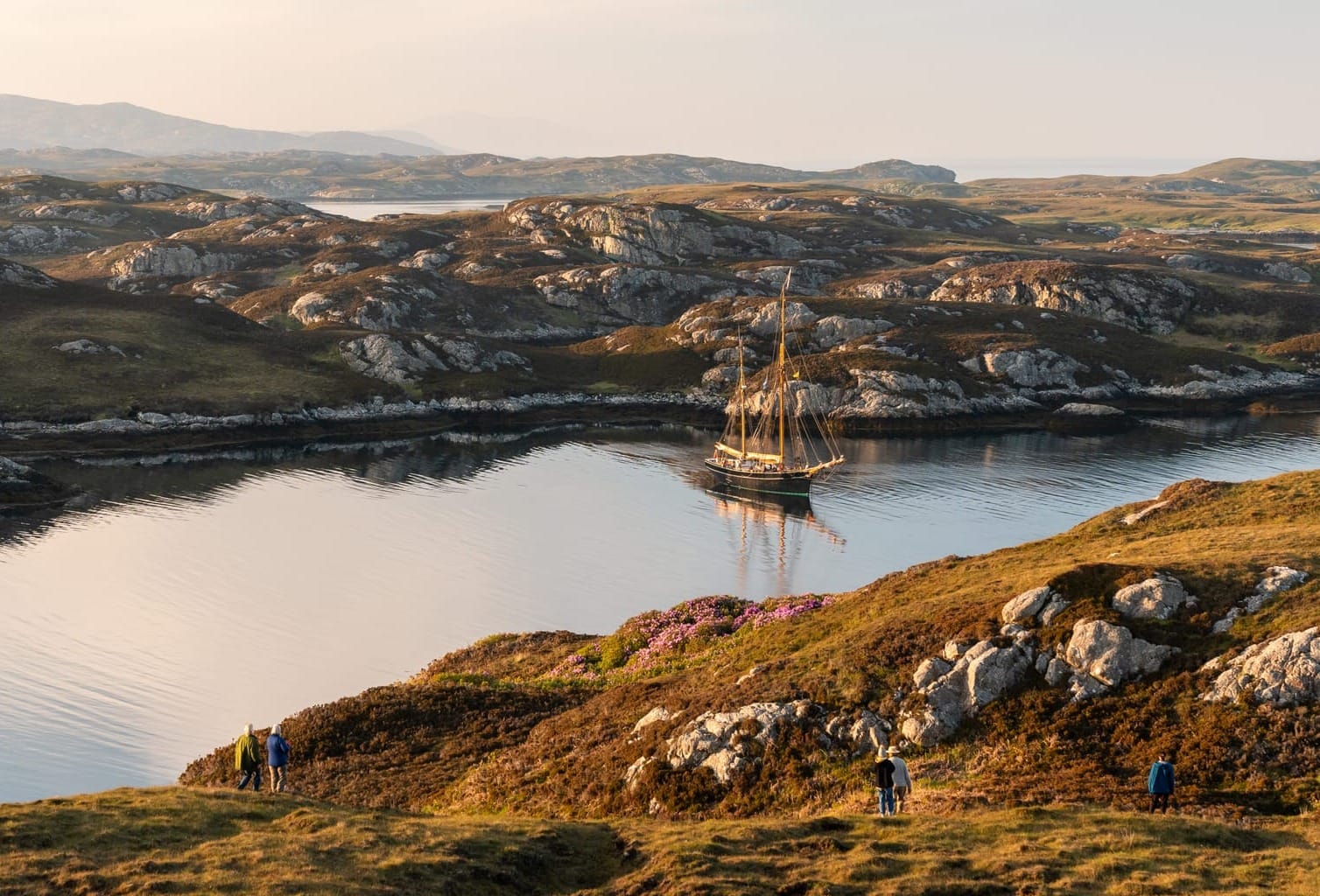
To the east lies an extraordinary landscape of exposed Lewisian gneiss, tiny lochs and rocky inlets that has often been compared to the surface of the moon.
And it is here that the landscape of Coffin Road takes over.
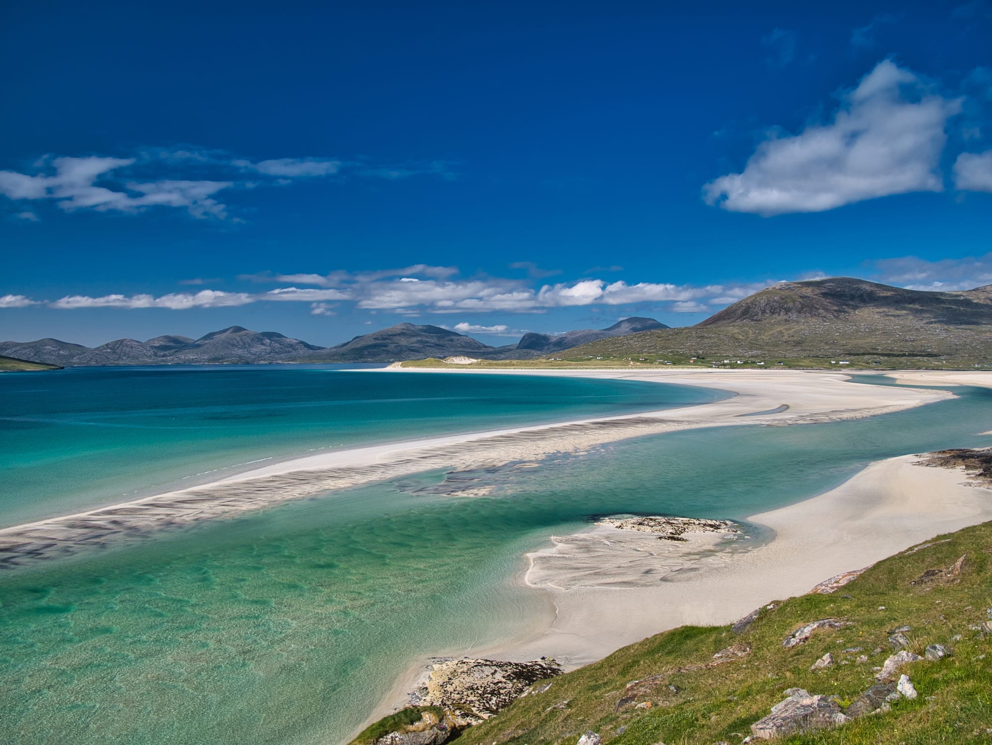
Luskentyre and the Coffin Road
At Luskentyre, one of Scotland’s greatest beaches stretches beneath the mountains of North Harris.
It was here that Peter May imagined a man staggering from the sea with no memory of who he was or how he had arrived there.
That image became the beginning of Coffin Road.
The character’s only clue is a map marked with the old Coffin Road, a route used by islanders on Harris’s rocky eastern side to carry their dead across the hills to burial ground in the softer machair of the west.
The track can still be walked today.
May’s fiction repeatedly returns to memory, identity and the way the past survives in landscape. Few places illustrate that better.
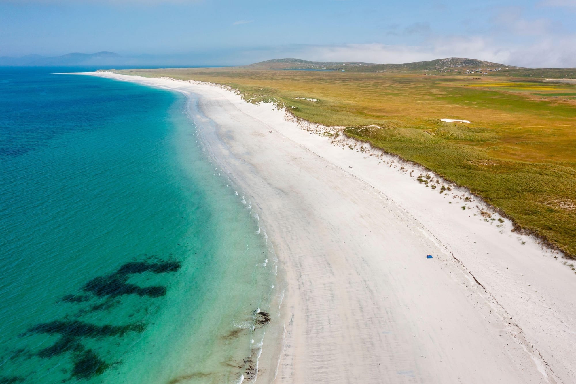
Across the Sound of Harris
From Leverburgh, the CalMac ferry crosses the Sound of Harris to Berneray.
It is a beautiful sailing through a complicated maze of islands, reefs and turquoise shallows.
Vehicle space is limited, so booking ahead is sensible, particularly in summer. Timetables vary through the year and should always be checked before travelling.
Berneray marks the beginning of another great Hebridean road journey.
From here, causeways link the islands almost continuously southwards.
Through the Uists
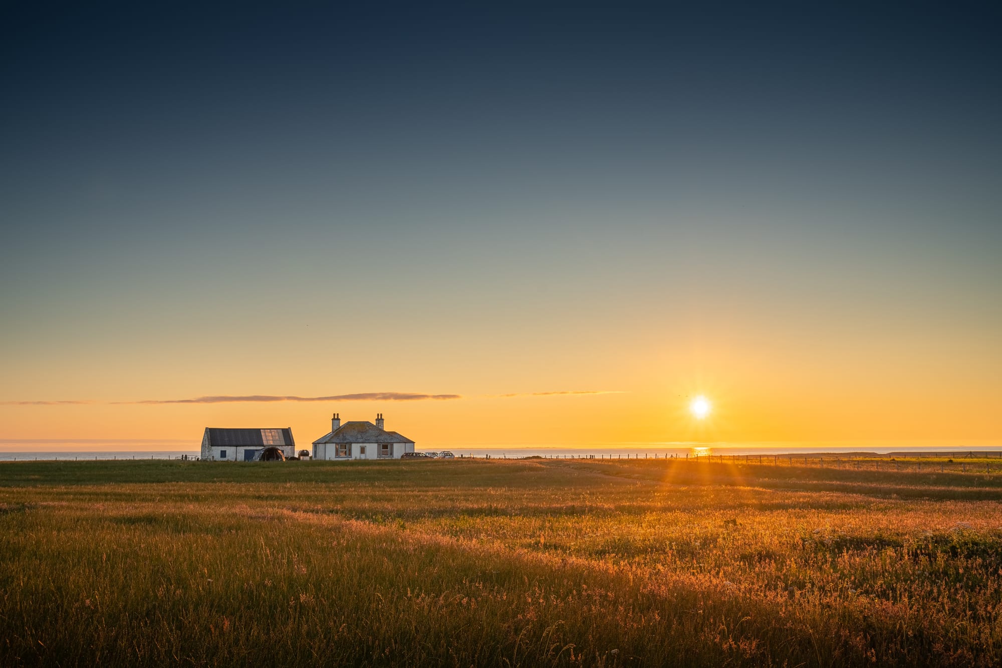
North Uist is a landscape dominated by water.
Lochs appear everywhere, separated by strips of peat and crofting land, while on the western side vast beaches meet the Atlantic.
At Sollas, a magnificent sweep of sand became the setting for the aircraft and drug-smuggling storyline in The Chessmen.
South of North Uist, causeways lead across Grimsay and into Benbecula.
Benbecula is flatter still – an island of sky, water and open horizons – before the mountains begin to rise again in South Uist.
Here the east coast becomes rugged and mountainous while the west is lined with mile after mile of machair and pale sand.
It is one of the great drives of the Outer Hebrides.
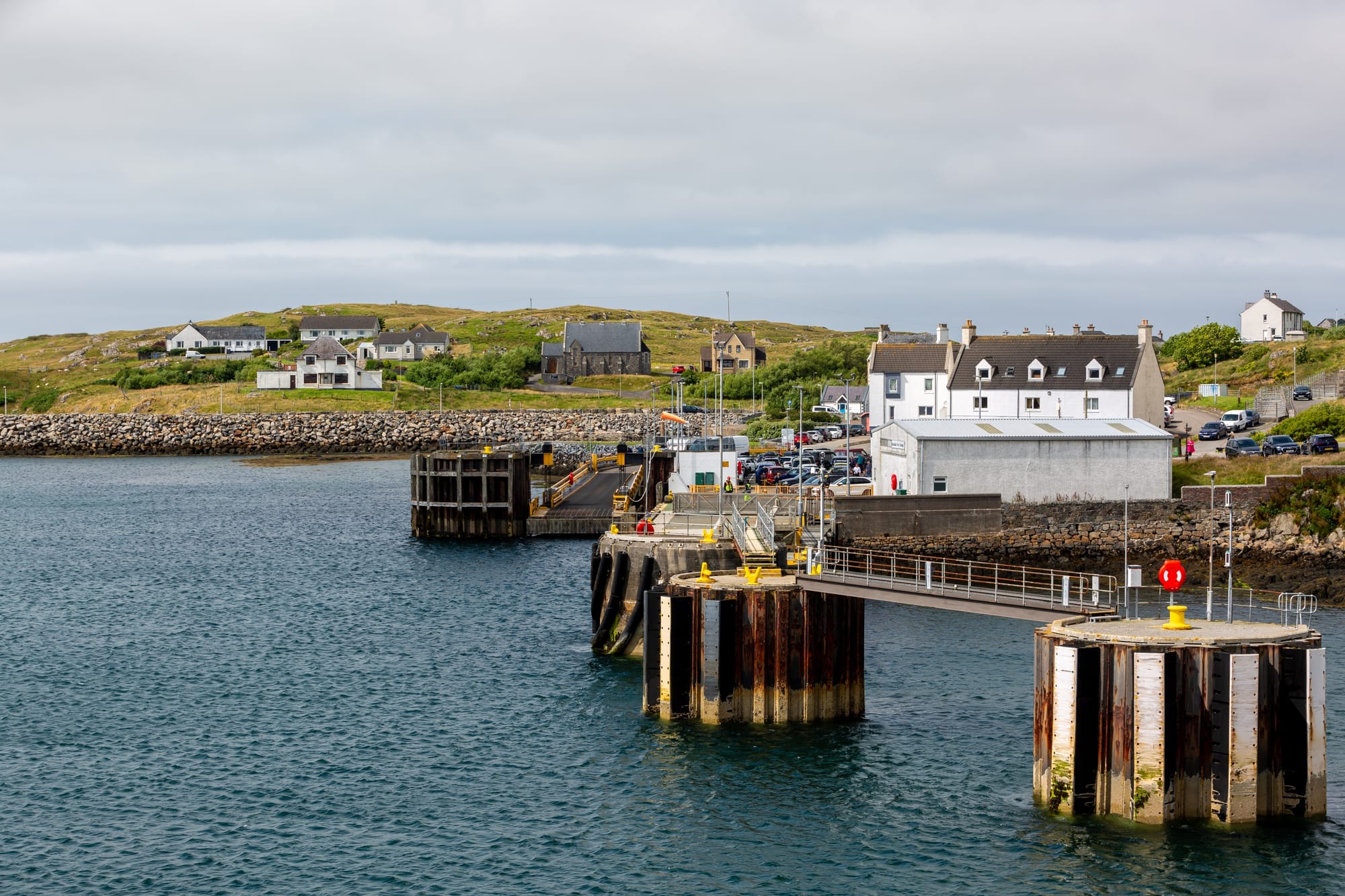
The Lewis Man heads south
Around Lochboisdale, the journey reconnects strongly with The Lewis Man.
May’s story draws on the history of children who were sent from mainland institutions to live with families in the islands.
His young “homers” arrive in South Uist before their lives become bound up with Eriskay and with the mystery that Fin Macleod eventually uncovers decades later.
The landscape here is softer than Lewis but no less atmospheric — mountains behind, sea ahead and small townships scattered between them.
Then another causeway takes the road onto one of the smallest inhabited islands in the Hebrides.
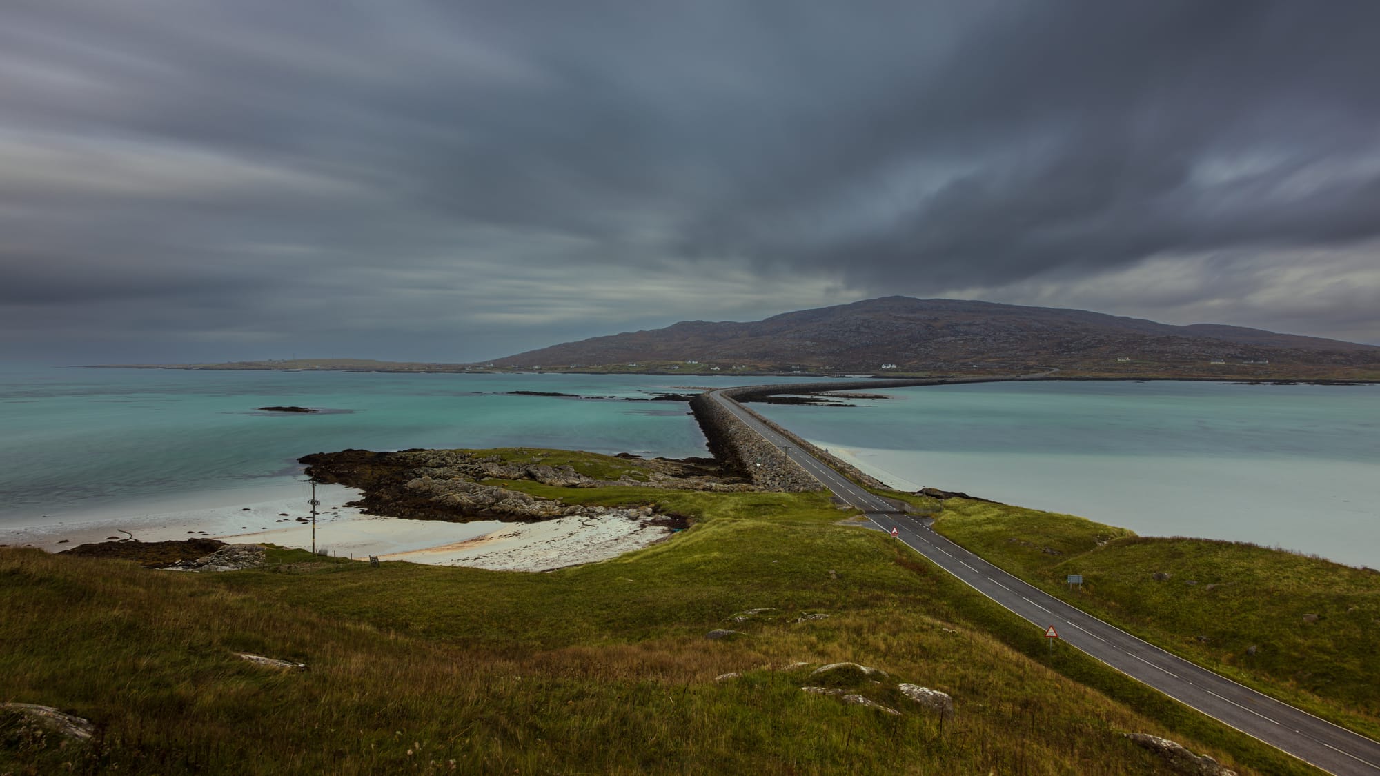
Eriskay
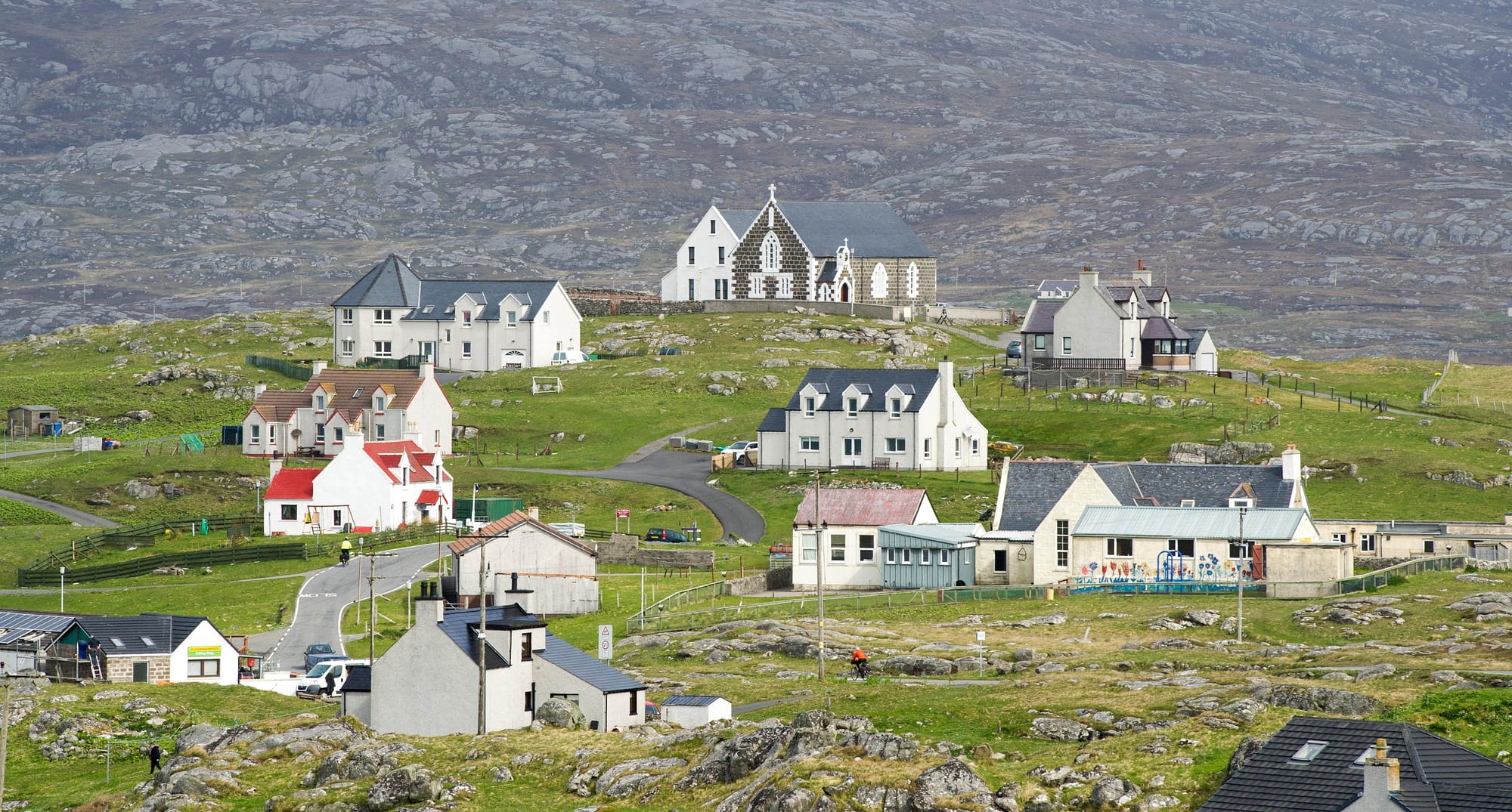
Eriskay feels like a natural end point to the journey south.
The island is compact, hilly and surrounded by brilliant blue-green water. Fishing boats shelter in its harbours, Eriskay ponies graze the slopes and white beaches curl around its shoreline.
May used several places here in The Lewis Man.
Locations associated with the main characters sit alongside Haun harbour, St Michael’s Church and the beach linked with Charlie in the novel.
It is also an island with stories far older than Peter May’s fiction, from Bonnie Prince Charlie’s first landing in Scotland to the nearby wreck that inspired Whisky Galore.
From Eriskay, the road turns north again through the Uists, back across the Sound of Harris to Leverburgh.
Because one last island lies ahead.
Forty miles west
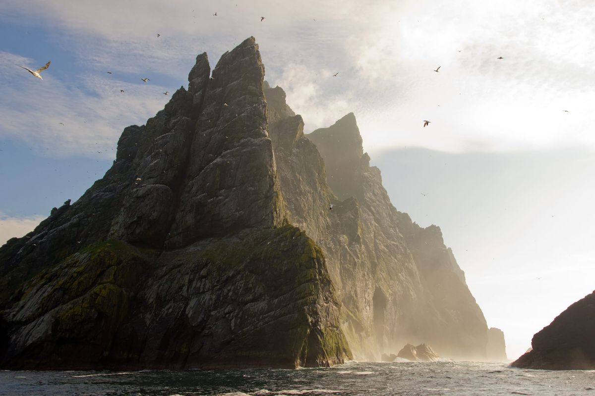
St Kilda sits alone in the Atlantic, around 40 miles west of the main chain of the Outer Hebrides.
There is no CalMac ferry. Specialist boats sail from Harris during the warmer months, and every departure depends on weather and sea conditions.
That uncertainty feels entirely appropriate.
Peter May’s final novel, Island of the Dead, is due to be published posthumously in January 2027.
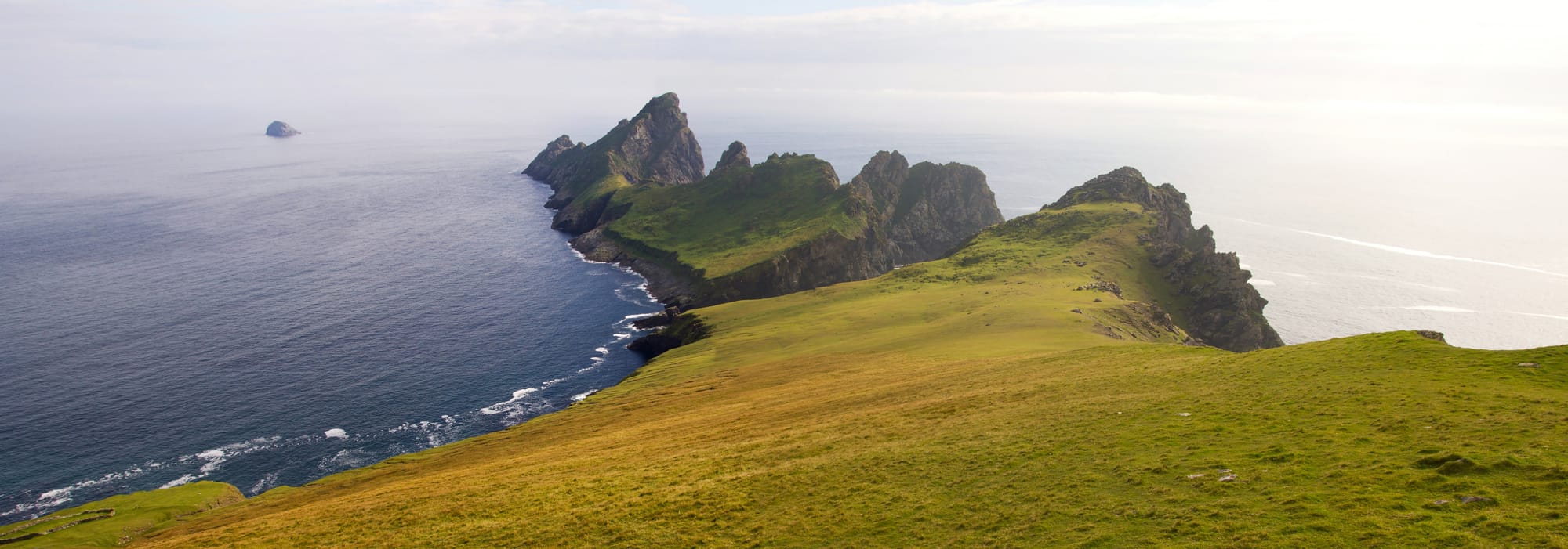
Its setting is Skarav, a fictional island described as lying around 40 miles west of the Hebrides, with towering cliffs and the remains of an abandoned community. May also shared photographs of St Kilda on social media when announcing the book.
Skarav may be fictional, but the similarities are difficult to ignore.
St Kilda offers the most compelling glimpse of the landscape that may have inspired Peter May’s final story: remote, dramatic and cut off from the world by miles of Atlantic.
We will have to wait until January to discover how much of this extraordinary place found its way into Island of the Dead.
📷Shutterstock, Alamy
Until then, the real St Kilda has plenty of stories of its own...
 Team Gallivant
 Team Gallivant
Member discussion